It’s a Sunday, but not just any Sunday. It’s Super Bowl Sunday, and hours from now the Rams and Bengals will square off to decide who is going to Disneyland and who will fall just short of their dreams.
A few miles north of where the action will go down, Christina and I park on Don Lorenzo Dr., a sloping residential through-street in the heart of Baldwin Hills that connects La Brea Ave and Stocker St. From there, it’s a five minute hustle across La Brea to the eastern side of Kenneth Hahn Recreation Area. This is our morning.
Friends Daniel and Melyssa join us for the A.M. jaunt, along with their dog Vin Scully. Vin and the two humans live not too far from here and frequently walk Kenneth Hahn, the park named for the former L.A. City Council Person and longtime member (40 years!) of the Los Angeles County Board of Supervisors. Today, the experienced trio leads the way.
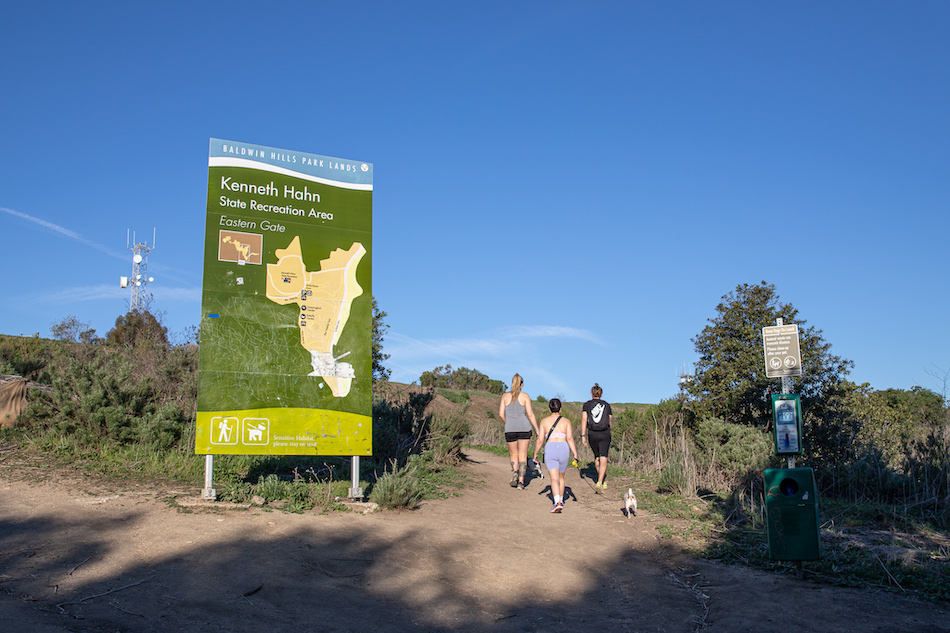
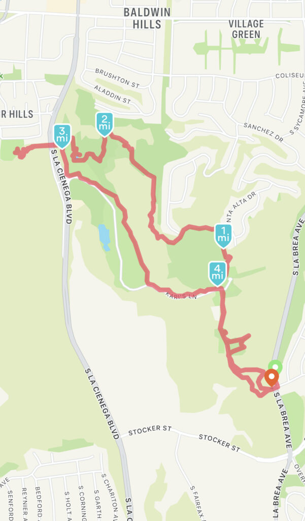
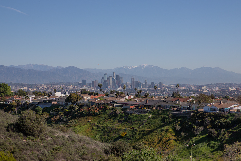
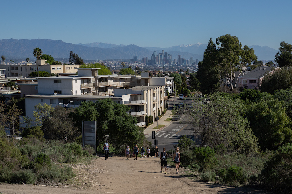
The journey begins as we veer right near a billboard sign that greets us at the trailhead. The dirt path curves up the hill for about a quarter mile before we connect to a gravel walkway guarded by a wood railing. Heading north, our steps move us past a water tower and a playground and a little hummingbird garden adorned with feeders. To our right we soak in a dramatic view of the downtown skyline, and at one point (as evidenced by the map at the bottom of this article) I jog east to a clearing in order to capture the frame. I can’t think of many places better to see L.A. after a good rain.
I rejoin the group, and it isn’t long before our path blends into a parking lot at the south edge of a large field depressed into the top of the hillside. To the northeast, we follow a paved loop where we stop for a moment to inspect a memorial dedicated to Rev. Dr. Martin Luther King Jr.
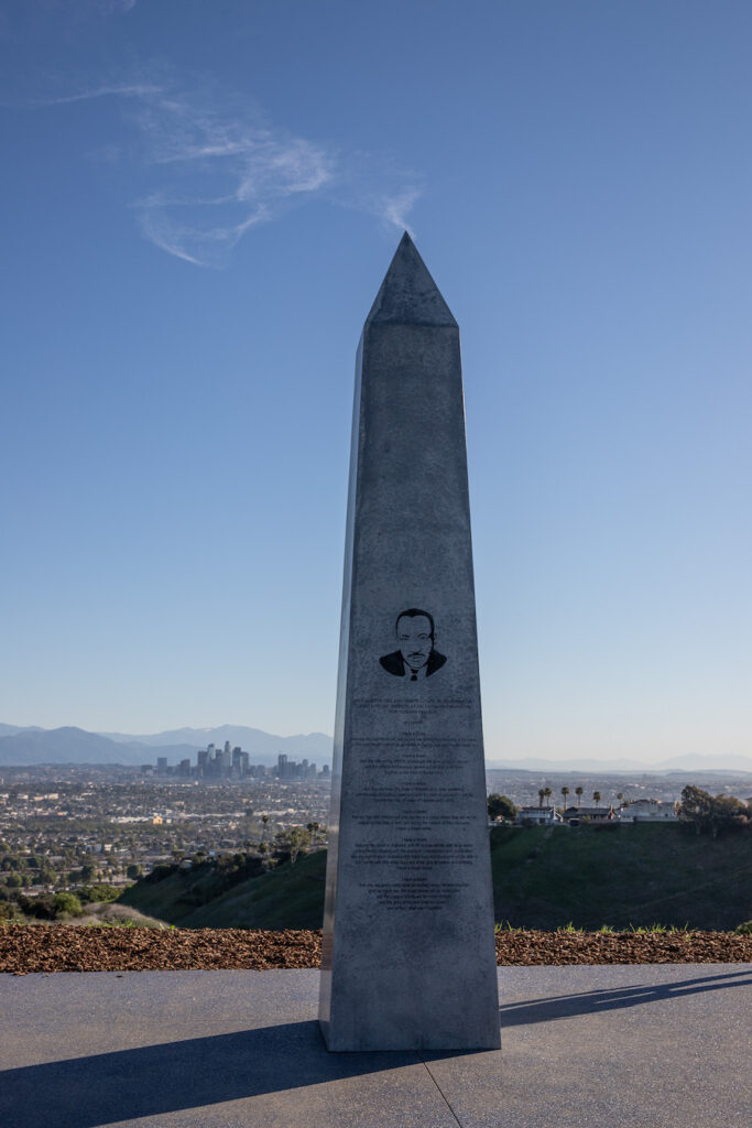
An obelisk set against a backdrop of the DTLA skyline is inscribed with an excerpt of King’s 1963 I Have a Dream speech. Two years before King delivered those words on the National Mall, he had visited Los Angeles. Kenneth Hahn was the only elected official from the state who met with him. We stop for a beat, take a few photos with the dogs, ponder the words, then move on.
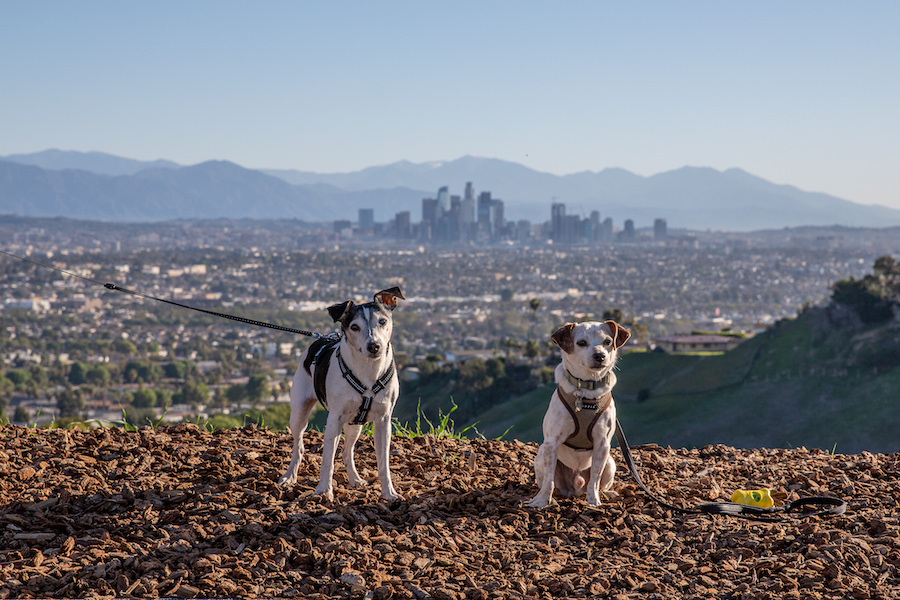
As we wrap around the top of the loop, the shape of the the disc-shaped valley below us looks more and more like an ideal lake bed. That is no accident. Sixty years ago, before the park was even a glint in the eye of any city planner, this was the site of the Baldwin Hills Reservoir. But then tragedy struck.
On the afternoon of December 14, 1963, the Baldwin Hills Dam burst open, releasing some 292 million gallons of water that gushed north toward Jefferson Ave. 5 people died. Over 60 homes were completely washed away and hundreds of others were damaged.
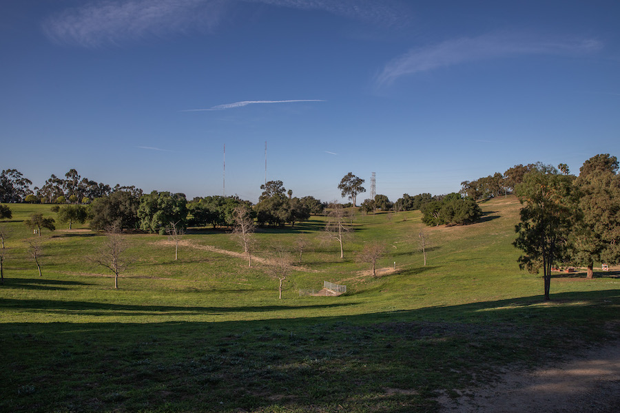
In the aftermath of the disaster there was a lot of finger pointing. The reservoir had been built on a hill that straddled the Newport–Inglewood Fault zone. But a point of contention was whether the exploitation of oil field, and specifically the technique of high pressure fluid injection, had significantly contributed to subsidence under the dam. Not surprisingly, Standard Oil (who operated the oil field at the time) never admitted fault. A subsequent geologic study asserted that the oil extraction did play a major role, and in 1976 the U.S. Geological Survey reached the same conclusion. Today you’ll find a plaque at the north end of the field that provides a summary of the events and memorializes those who were lost.
We follow the loop until just past an entrance to a residential neighborhood (Baldwin Vista) that borders the park to the north. From there, the trail to the northwest heads up a ridgeline connecting us to the other side of the park. Along the way we catch views of the Pacific Ocean and West Los Angeles, and the aforementioned oil field.
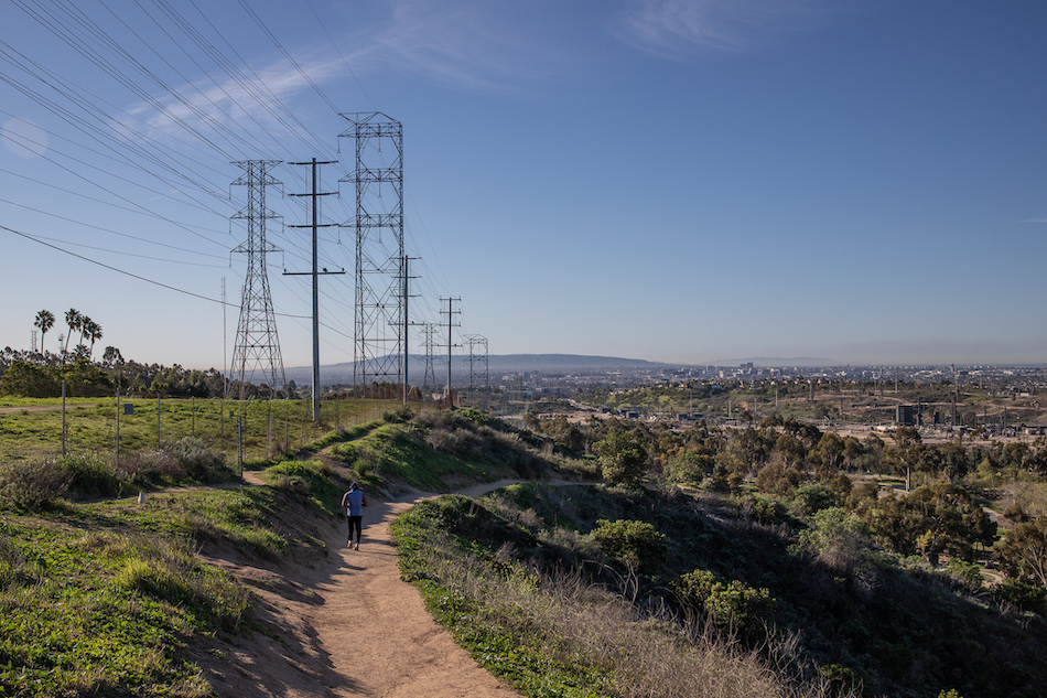
Looking south from Kenneth Hahn Park. Photo by Brian Champlin. Feb. 13, 2022.
To this day, oil extraction continues from the Inglewood Oil Field, producing in the ballpark of 2.5 million barrels annually. In 2021 the county took a major step toward ending drilling in unincorporated parts of Los Angeles, but quitting an addiction is always a tough sell, isn’t it?
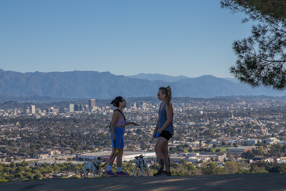
We push up the ridgeline, which tops out at Autumn’s peak. The elevation offers a sweeping view of the basin and surrounding coastal areas, from Hollywood to the North to Santa Monica to the West to Palos Verdes in the South.
From the peak we descend to the northwest, and in only minutes we intersect a trail junction offering multiple routes for us to choose. A sign says we can go straight over the next hill to Doris Japanese Garden, but we cut south down the hill to the left. Daniel says it’s quicker that way. Fine by me.
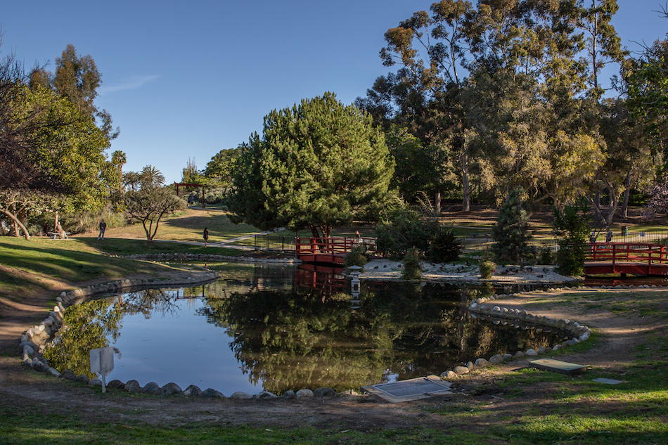
At the bottom of the hill we wrap around to the right then skip across a grove of trees to a restroom that sits on the doorstep to the garden. There we find a koi pond and a decorative bridge and a few critters to inspect in and around the water. It’s peacefulness I like the best, though.
To the north we spy a Meji-style gateway, but we opt for a path just to the left of that, heading down towards a parking a lot at the edge of the official park boundary.
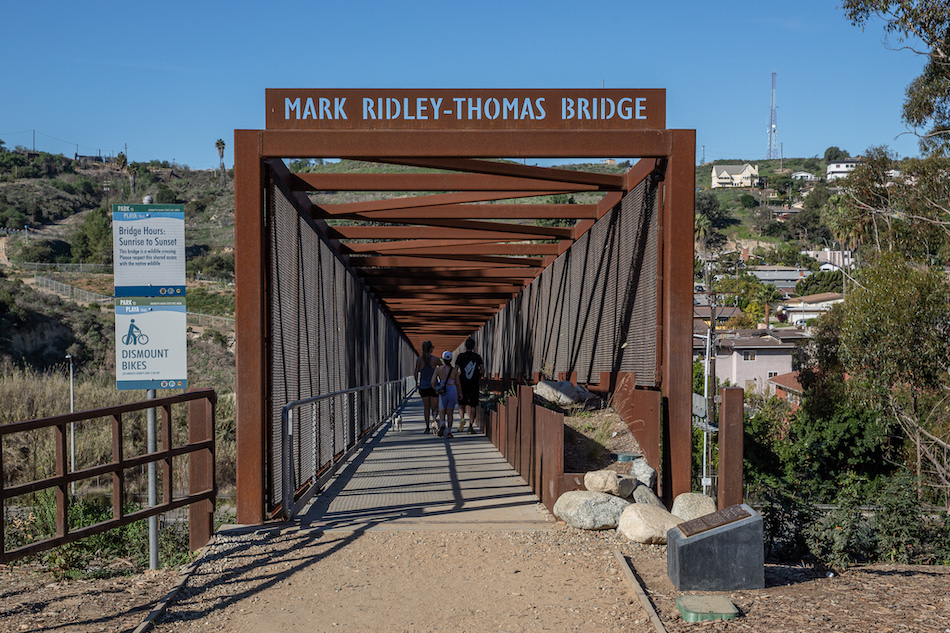
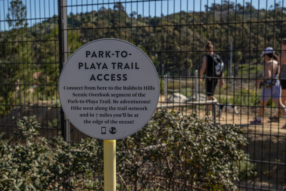
Standing before us is the Mark Ridley-Thomas Bridge, a relatively recent addition that takes visitors across La Cienga Blvd, and beyond the confines of Kenneth Hahn. The span is part of the Park to Playa Regional Trail, a 13-mile network of paths that directs pedestrians and cyclists from Stocker St. all the way to the Pacific… if they’re so motivated. We, however, are not that motivated.
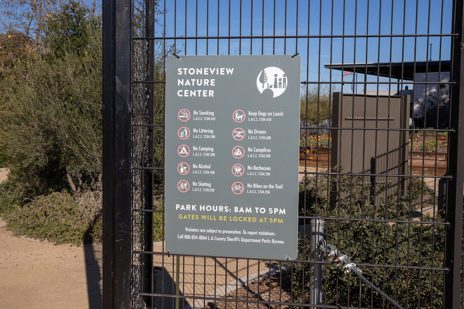
Just past the bridge our path curves up to the Stone View Nature Center, which is as far west as we’ll get on this particular hike. The county-operated garden features a restroom, benches, native flower planters, exercise zones, and its own parking lot. If you stop here on a weekday you’re apt to see a community class or a youth group on a field trip enjoying the amenities. Today, it’s the perfect rest stop on the halfway mark to our trek.
After a brief respite, snack break, and water consumption, we gather the pups and begin the walk home.
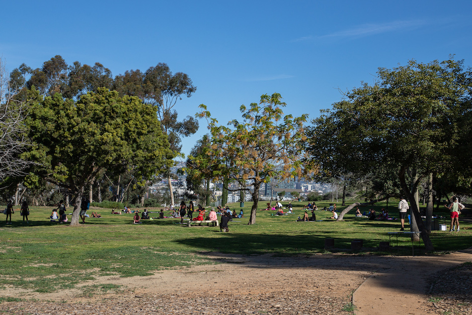
As we cross back to the east side of the bridge, cars now fill up the parking as a crowd gathers in the field to our north. I see lots of yoga mats. We head south.
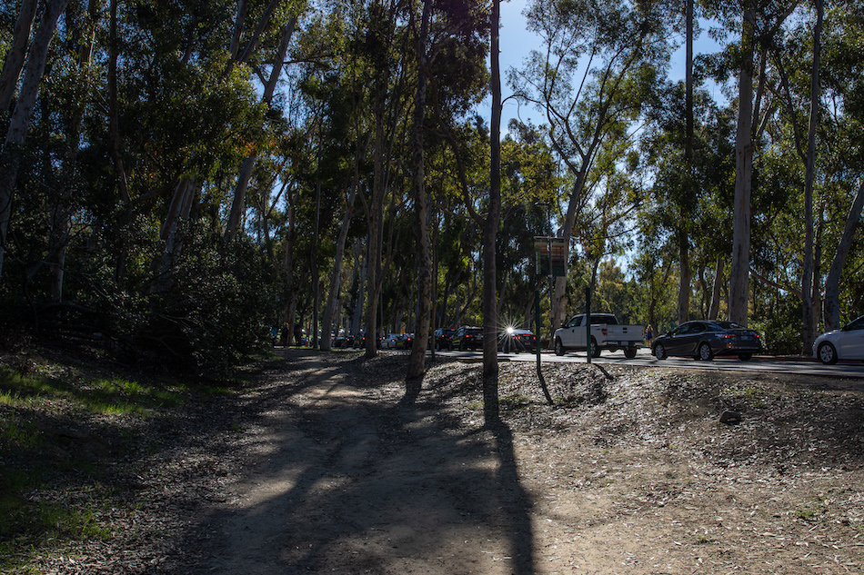
Instead of following our route back the way we came, we dip past the parking lot, following a dirt path that swings left at the main road to enter the park. The tree-line casts long shadows that we look through to see a row of cars waiting to enter through the western entrance. It’s $7 to enter on weekends and holidays, but that price point doesn’t seem like a non-starter.
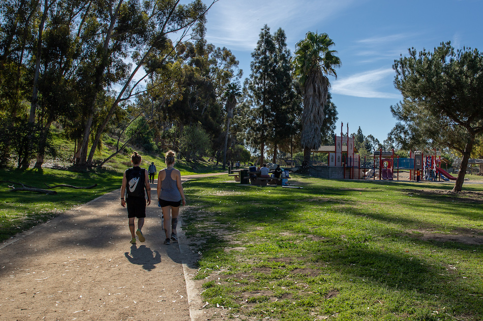
We emerge from the tree grove at the edge of another parking lot, which we glide across to hook up with a dirt path that edges along the main section of the Lower Park. Here we find more playgrounds and restrooms and a basketball court and picnic benches and just lots of wide open green spaces. Occasionally you’ll hear people refer to Kenneth Hahn as L.A.’s version of Central Park. You see a scene like this, and that makes sense.
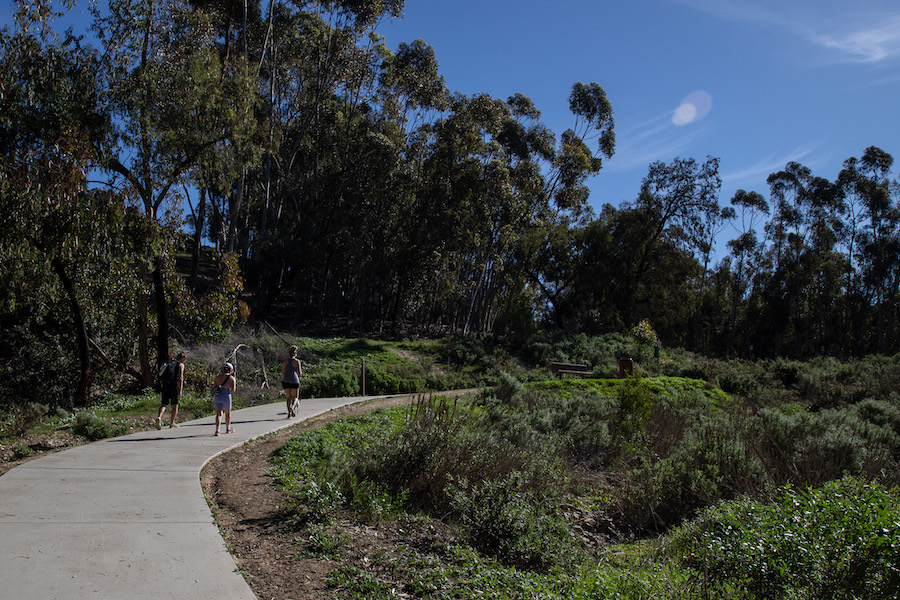
After about a half mile, the dirt path tees out at the main road, which connects the lower and upper portions of the park. We bank left at the sidewalk and begin our ascent. There is no shade here, and the sun moves ever higher in the sky, but thoughts of beers and BBQ tease us forward.
The climb winds down as we reconnect with the first leg of our journey, back at the parking lot and the gravelly walkway at the top of the park. We track back on our original path, past the playground and the water tower and the humming bird garden.
The concluding steps offers one final frame of beauty. Apartment roofs and treetops cascade toward the skyscrapers in the distance as the far off mountains melt into the crispness of the blue sky. 4.5 miles later, and I feel like we earned the view.
We arrive at the La Brea crosswalk just as a cyclist rolls to a stop near the light. He leans his bike over and he plants his right foot on the ground and words puff out of him in one heaving breath, “Am I close to SoFi?” It’s less of a question than a prayer.
Daniel nods and points south and tells him that once he gets over the hill he should be able to coast more or less the rest of the way. The cyclist lets his shoulders slump and air squeezes of his lungs like a punctured balloon. Then, unprompted, he tells us his tale.
The cyclist had set out from Santa Monica to see the spectacle of a new stadium on the day of the big game. Somewhere along the way he’d taken a wrong turn, and then found himself making the the brutal ascent from the base of La Brea Ave near Jefferson to the apex of Baldwin Hills. Not recommended for the faint of heart. The climb stripped his stamina and drenched him in sweat, but he was determined to finish what he’d started. So he says.
We wish him luck and watch him ride off and with the exchange of a few wordless glance we know we’re all asking the same question. Hopefully, I think, the day won’t be quite as hot as predicted and the Rams will win and the cyclist makes it home without an ambulance assist.
Writing this now, nearly a year later, it’s still only two of out three we know for sure.
Starting Point: Intersection of S. La Brea Ave and Don Lorenzo Dr., Los Angeles CA 90008
End Point: Same
Distance: 4.56 miles
Miles Until Goal: 971.09
Previous: Walking Lower Arroyo Park By the Colorado Street Bridge | L.A. on Foot #9


